Precision meets perspective.
The equipment behind the media. It supports the service; it isn’t the product.
Every format comes from a capture method chosen for the job, and the methods work together.
Photography, video and aerials show what a property looks like. LiDAR-based capture records how it fits together. Doing both in one visit means the tour, the plan, the photos and the film all describe the same property on the same day.
 Illustrative image
Professional imaging
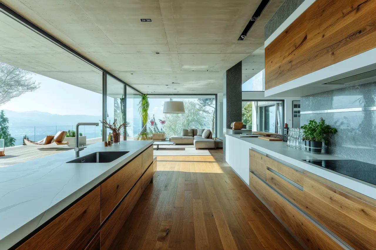
Bracketed exposures hold detail in bright windows and darker corners. Images are edited by hand for colour, verticals and clean lines.
Property photography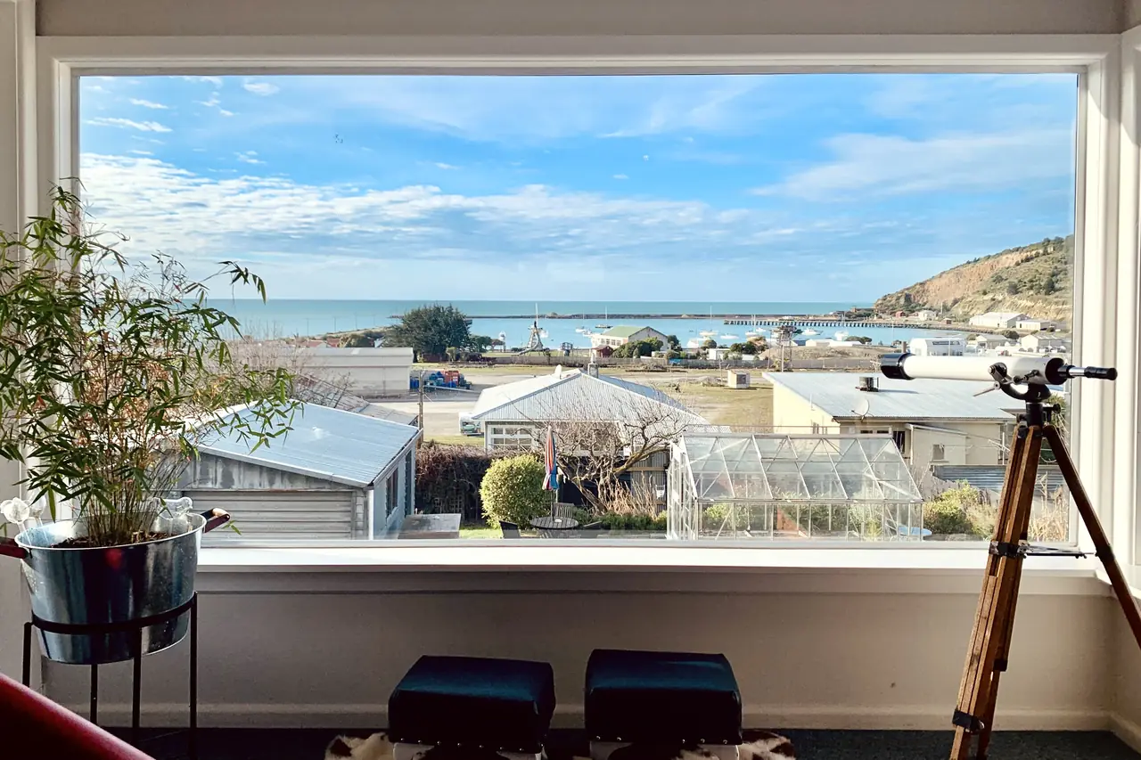 Illustrative image
360° capture
Panoramas are captured through the property and linked into a walkable tour. Viewers choose where to look and where to go next.
360° virtual toursSpatial measurement with iGUIDE
We use iGUIDE PLANIX R1: a 360° camera with a built-in time-of-flight LiDAR scanner. iGUIDE states its LiDAR measurement is accurate to within 0.5%. From one capture it produces a 3D tour, a 2D floor plan and measurements.
Floor plans and measurements are marketing documents, not a survey.
Digital twins & floor plans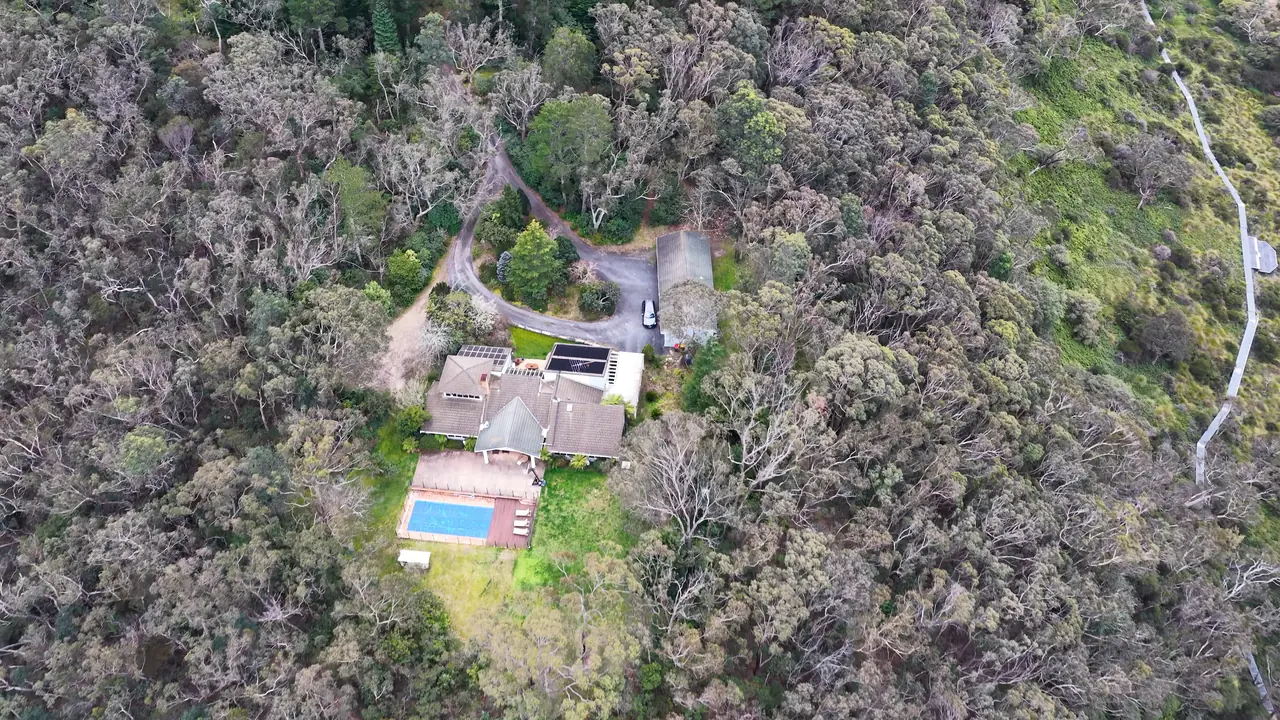 Illustrative image
Aerial imaging
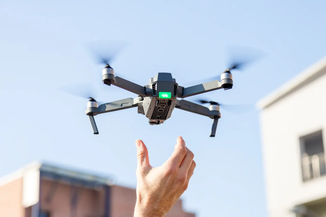
Drone stills and 4K video show land, access and setting. Every flight is planned around weather, airspace and CASA rules, and some locations can’t be flown.
Drone media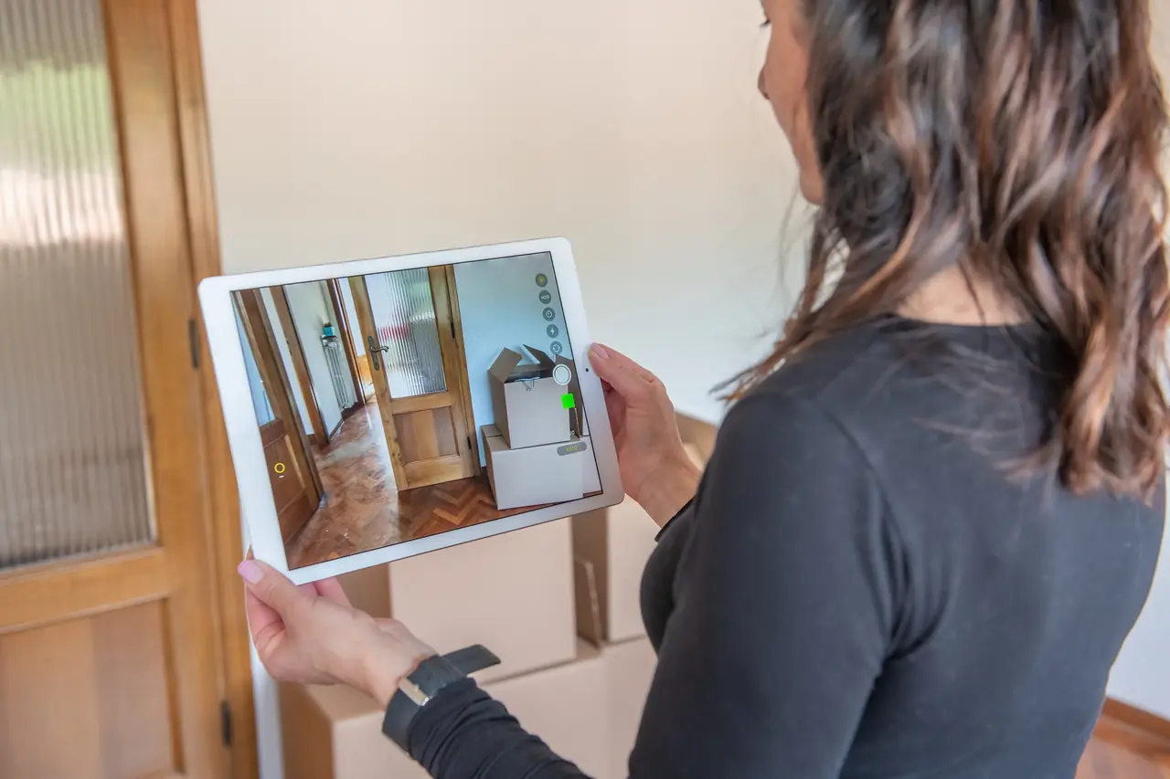 Illustrative image
Digital property experiences
Hosted tours, embeds, tags and combined presentations bring every format together and work on any device.
Interactive property mediaiGUIDE PLANIX R1 at a glance
Figures below are the manufacturer’s published specifications, not VUELO test results.
- Sensors
- 360° camera with a built-in time-of-flight LiDAR scanner
- Stated measurement accuracy
- Within 0.5% (iGUIDE)
- Measurement range
- Up to 40 m (iGUIDE)
- Outputs
- 3D tour, 2D floor plan, measurements; DWG or ESX on request where available
- Sharing
- Hosted link, responsive website embed
- Google Street View
- Export available for commercial properties with a Google Business Profile
How the formats combine
Choose a format to see what it adds.
Plan your capture
Tell us about the property and we’ll recommend the right mix of formats.
iGUIDE and PLANIX are trademarks of Planitar Inc. VUELO is an independent operator and is not affiliated with or endorsed by Planitar. Source: goiguide.com.