
Digital twins & floor plans
A measured, navigable record of a property: the tour, the floor plan and the dimensions from one LiDAR capture.
A floor plan answers the questions photos can’t: how big, how many, and how it all connects.
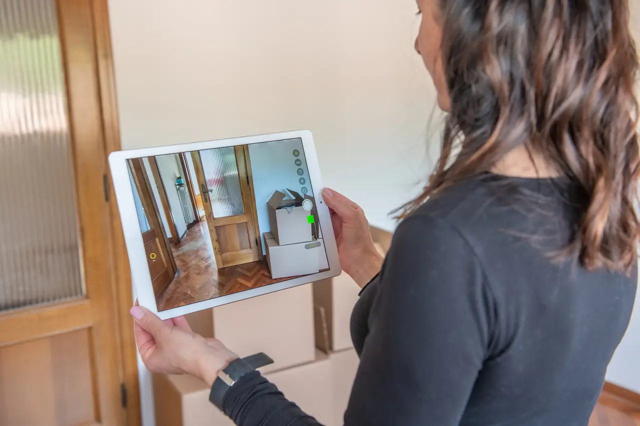
We capture properties with iGUIDE PLANIX R1, a 360° camera with a built-in time-of-flight LiDAR scanner. From one visit, iGUIDE produces an immersive 3D tour, a 2D floor plan and room measurements, all from the same data.
The result is a digital record of the property that agents, owners and managers can share, revisit and use again.
Our floor plans and measurements are marketing documents. iGUIDE states its LiDAR measurement is accurate to within 0.5%, but results depend on the property and conditions. They are not a cadastral, boundary or building survey, and they are not certified for legal, engineering or building-inspection purposes. Where certified dimensions are needed, use a registered surveyor.
Digital property capture
One on-site capture of the whole property.
Interactive spatial experience
Move through the tour and jump to any room from the plan.
Floor plans
Clean 2D plans for listings and brochures.
Measurements where supported
Room dimensions and floor areas from the LiDAR data.
Room layouts
How spaces connect, level by level.
Property documentation
A dated record of the property as it was captured.
Select a room on the plan
On a real job, each room on the plan links to its own photos and 360° viewpoints. Try our illustrated plan below, then see iGUIDE’s real samples further down.
Illustrative imageLiving · 6.4 × 5.0 m
Sample plan drawn for demonstration. Room photos are licensed stock of similar rooms, not one property, and the dimensions are examples. On a real job, each room links to that property's own photos and 360° viewpoints.
Standard 360° tour
Linked panoramas you can look around and move through. Great for showing a property. It has no measurement data.
- Room-to-room navigation
- Shareable link
- No floor plan or measurements
Measured iGUIDE tour
A 360° tour captured with LiDAR, so the tour, the floor plan and the measurements come from the same data. This is what we mean by a digital twin.
- Room-to-room navigation
- LiDAR-generated floor plan
- Room dimensions and floor areas
See real iGUIDE samples
The plan above is our own illustration. These are iGUIDE’s published samples of the files a capture produces. They open on iGUIDE’s website.
Schematic floor plan
The marketing floor plan for listings and brochures: each level drawn with room labels, dimensions and floor areas in square metres.
Site plan
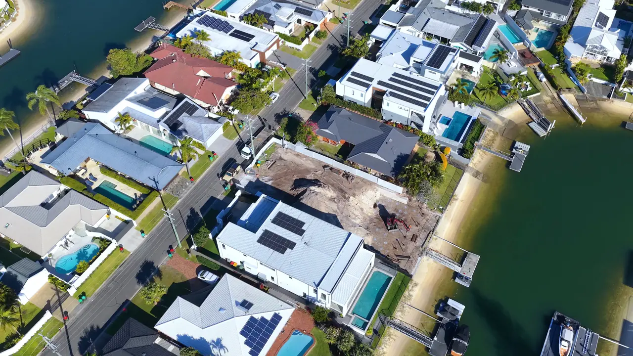
A bird’s-eye view of the whole property: buildings, outdoor features and overall layout. An iGUIDE add-on for eligible residential listings. iGUIDE’s sample package includes one after the floor plans.
Floor plan formats
How the same capture looks as a schematic PDF, a CAD drawing, an ESX sketch and a 3D model.
iGUIDE and PLANIX are trademarks of Planitar Inc. VUELO is not affiliated with or endorsed by iGUIDE. Samples show iGUIDE’s published examples, not VUELO jobs. Site plan availability depends on the property and the iGUIDE package.
What you receive
Final scope is confirmed in your written quote.
| iGUIDE 3D tour | Hosted interactive tour with floor plan navigation |
|---|---|
| 2D floor plan | Marketing floor plan with room dimensions |
| Site plan | Bird’s-eye plan of the whole property, as an iGUIDE add-on where available |
| Measurements | Room dimensions and floor areas from LiDAR data (a guide, not a survey) |
| CAD files | DWG or ESX files on request, where available for your iGUIDE package |
| Stills | Image gallery from the capture, if included |
The technology
- Capture system
- iGUIDE PLANIX R1: 360° camera with built-in time-of-flight LiDAR (manufacturer specification).
- Stated accuracy
- iGUIDE states its LiDAR measurement is accurate to within 0.5%.
- Processing
- Floor plans and tours are produced through the iGUIDE platform.
- Formats
- Tour link, embed, floor plan images and PDFs; DWG or ESX on request.
Ideal for
- Real estate sales and leasing
- Commercial and industrial leasing
- Property managers and owners keeping records
- Renovation planning (not certified dimensions)
- Insurance documentation of contents and condition
Questions
More in our FAQs.
Is this a survey?
How accurate are the measurements?
Can I get CAD files?
Can commercial tours go on Google Maps?
Related services
Ready to book digital twins & floor plans?
Tell us about the property and we’ll reply with a written quote.